Southern France features plenty of destinations worth visiting, for instance, the city of Nice and the Riviera coast, Avignon, Lourdes, and St-Jean-Pied-de-Port. The mighty mountain range of Pyrenees has many breathtaking places, and one of them is the Circle of Gavarnie, a spectacular natural formation created by glaciers.
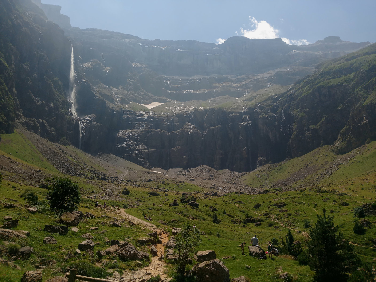
Gavarnie is the name of village where the public road ends, and Cirque de Gavarnie (the French name for the place) is the natural wonder deep in the Pyrenees mountains that is shaped like a kettle. The difference to an ordinary kitchen kettle is that this kettle leaks from one side, allowing the water from glacier cascades to flow out and down from the mountain. The vertical walls that form the circle rise 1500 meters from the bottom of the circle.
The tallest mountain peak near the Gavarnie is Mont Perdu (Monte Perdido in Spanish) at 3355 meters. Large glaciers exist in the area where multiple peaks reach over 3000 meters altitude.
The biggest waterfall inside the Circle is 423 meters high. There are many smaller waterfalls around the walls of the circle.
How to find the Cirque de Gavarnie
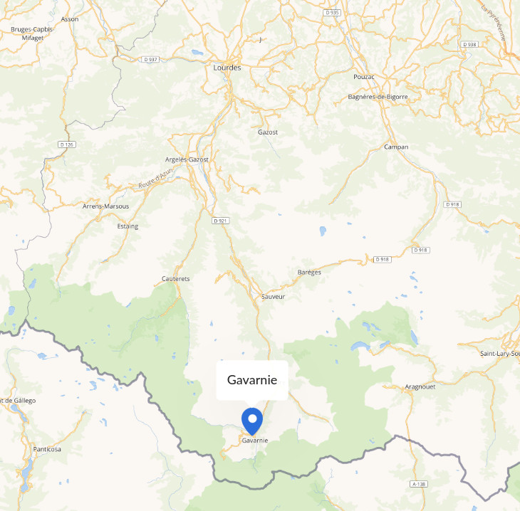
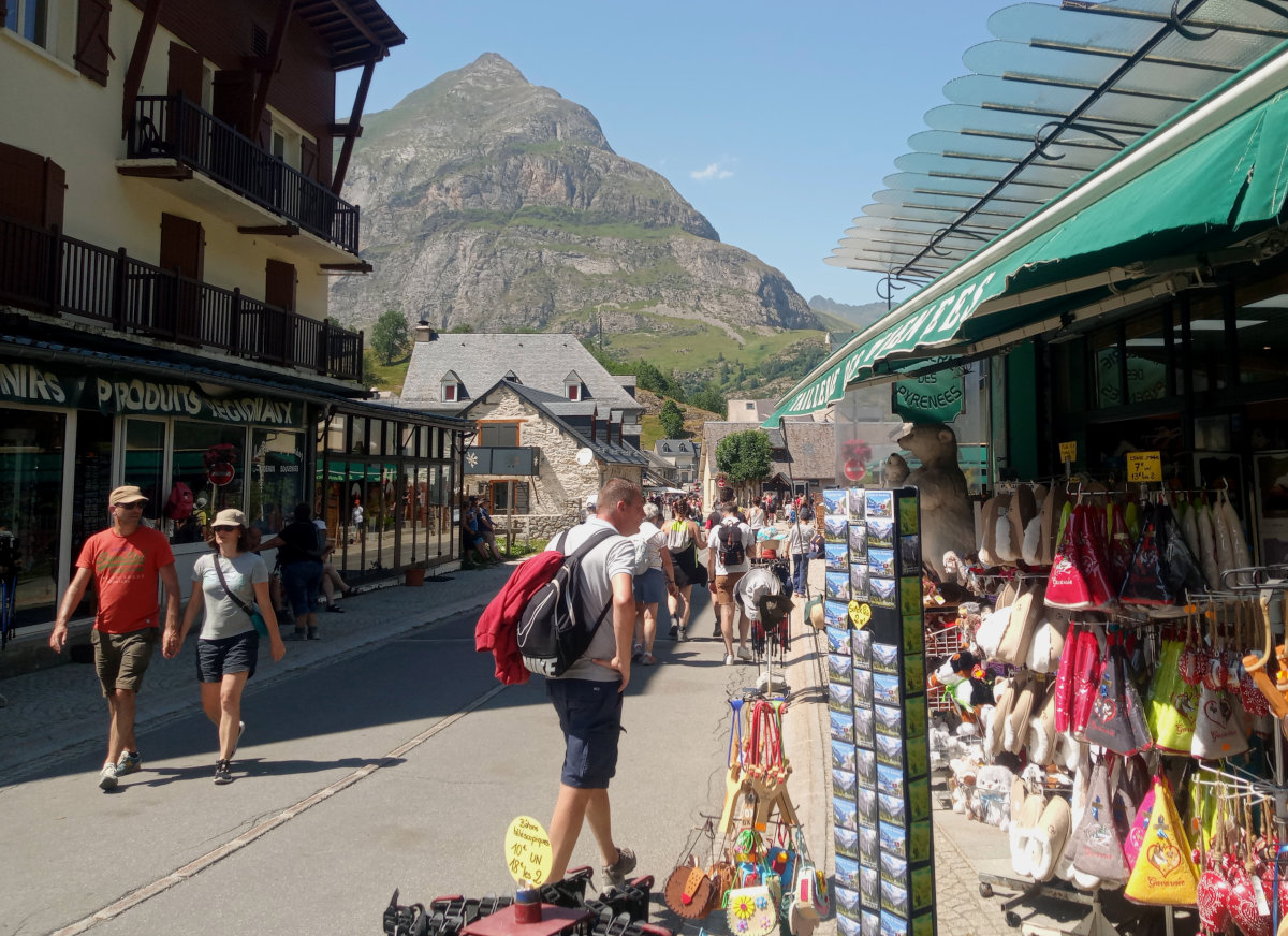
The nearest town where a traveler can easily find everything required is Lourdes, a famous destination for pilgrims and miracle believers. From Lourdes, follow the main road directly south to Luz Saint Sauveur. Continue south along D921 to Gedre, and follow the narrow road to Gavarnie village. In Gavarnie, you’ll have to park and pay for it. Although not well signposted, there is a separate area for campervans and motorhomes with splendid mountain views. To find it, drive two kilometers up the road that leads to the ski center from the village.
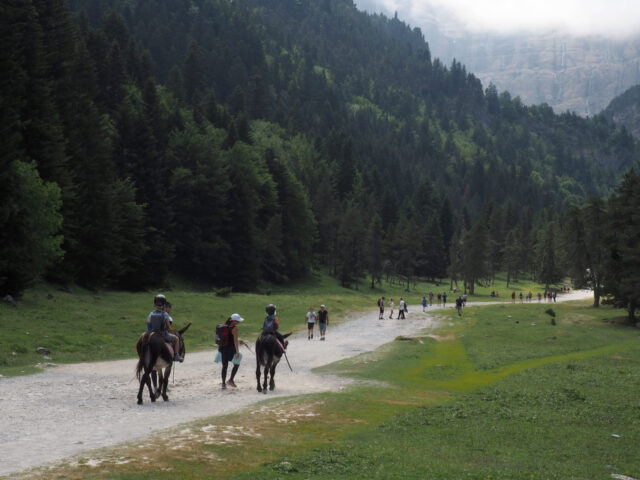
Tourist Information Center is easy to find in the village center. After leaving your vehicle behind, you can explore the village and continue to the Cirque (by following the trail next to the river). The rest of the way you have to hike, ride a donkey, or ride your mountain bike (not recommended during the high season). Donkeys are available in the village, but I didn’t see any bicycle rentals.
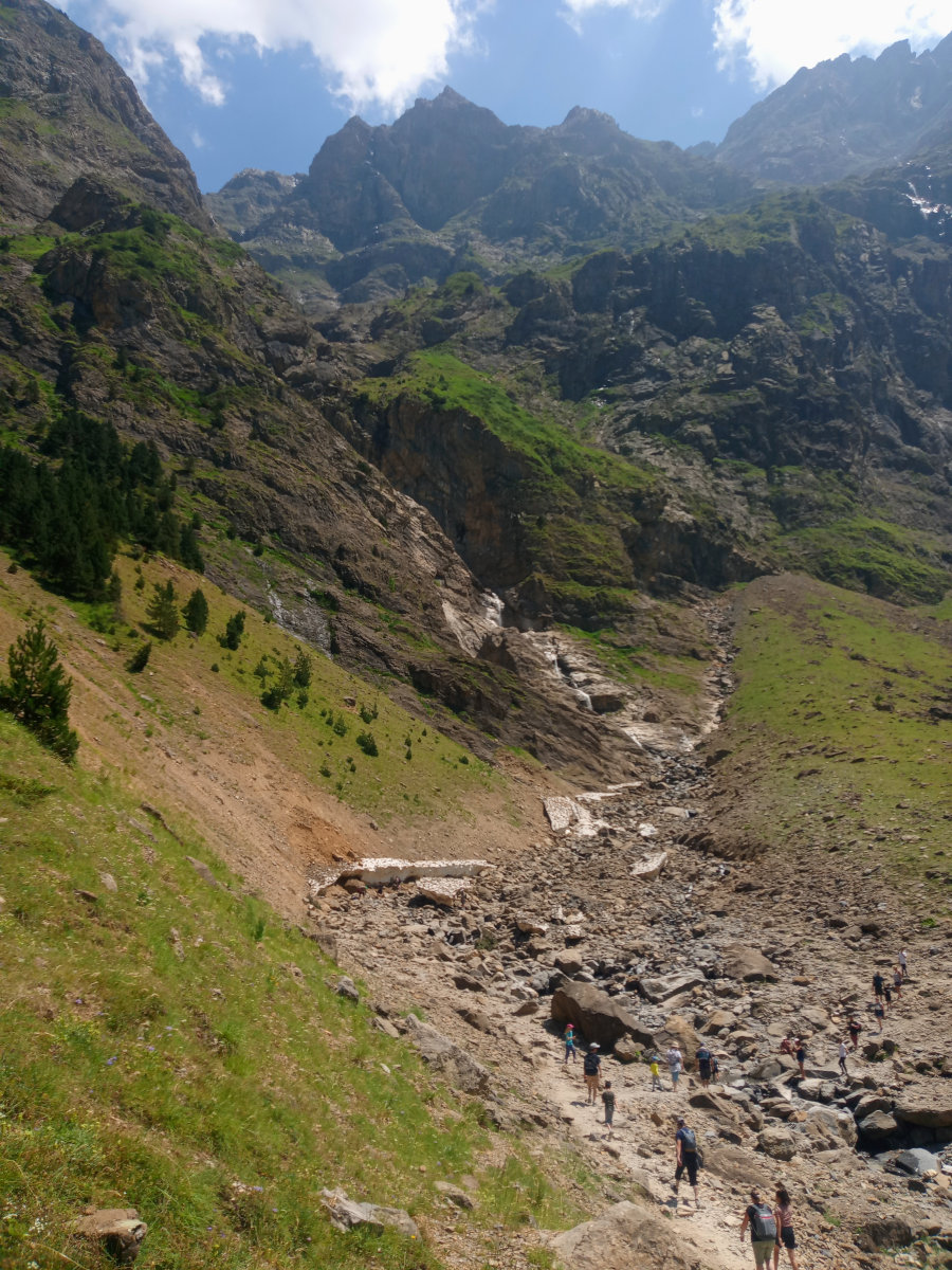
Walking from the village to the Circle takes about 1 hour 30 minutes if you stop and admire the scenery every once in awhile. Towards the end of the trail, it is uphill, so the return is somewhat faster.
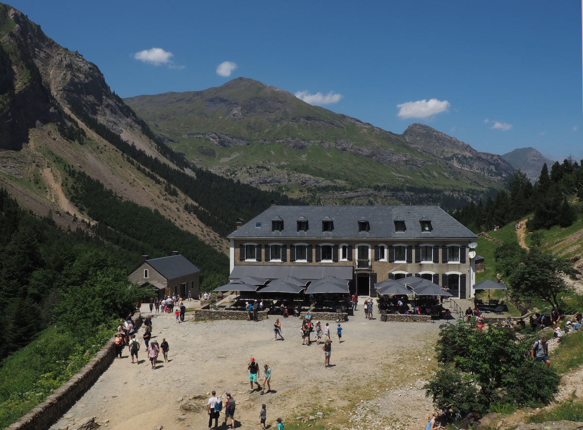
Once you reach the Circle, the scenery changes as a movie-worth lost world view opens up. There, you’ll find a restaurant cafe to sit down and think about the next step. It is possible to walk all the way to the great cascade, or actually under it. It takes about 30 minutes to hike from the restaurant one way.
If you can, avoid visiting in July and August because Gavarnie attracts crowds of visitors then. There are plenty of people on the trail that leads to the Cirque, and large car parks in the Gavarnie village can be full during the busiest summer months.
Camping sites are located in beautiful locations along the river, and restaurants and bars in the village provide local food and drink.