
 Views at Monchique.
Portugal’s southernmost province Algarve in the southwest corner of continental Europe is bordered by the Atlantic Ocean and Spain. Long coastal dunes with beaches between tall cliffs are characteristic to Algarve, but also the inland landscape in the region is pretty (if you know where to go). The travel guide Algarve, Southern Portugal introduces all the sights, villages, beaches, towns and everything else worth knowing about the region. If you are planning to rent a car or ride a bicycle in Algarve, here are 3 of the top scenic drives introduced in the guidebook.
Monchique mountain
Monchique is the highest mountain in Algarve (902 meters / 3000 feet) and it is also the name of a town that is located about halfway up the mountain. For road travelers, the narrow mountain roads of Monchique provide spectacular views to Algarve. On a clear day, it is possible to see both the western and the southern coasts of Portugal.
View a video filmed on the road to the top of Monchique:
The easiest route to the foot of Monchique is to approach it from south along the road N266. The N266 starts off from the north side of Portimao. Three key stops along the way to Monchique are Caldas de Monchique, a spa village with lush forests in a gorge, the town of Monchique, and Foia, the top of the mountain. Four choices for the return trip are: towards the north or the east for more mountain roads; the west towards the coast where the small town of Aljezur is located; or the south towards Portimao. All roads branch off in the town of Monchique. Distances are short, but mountain roads are relatively slow to drive and sceneries take time to absorb as well.
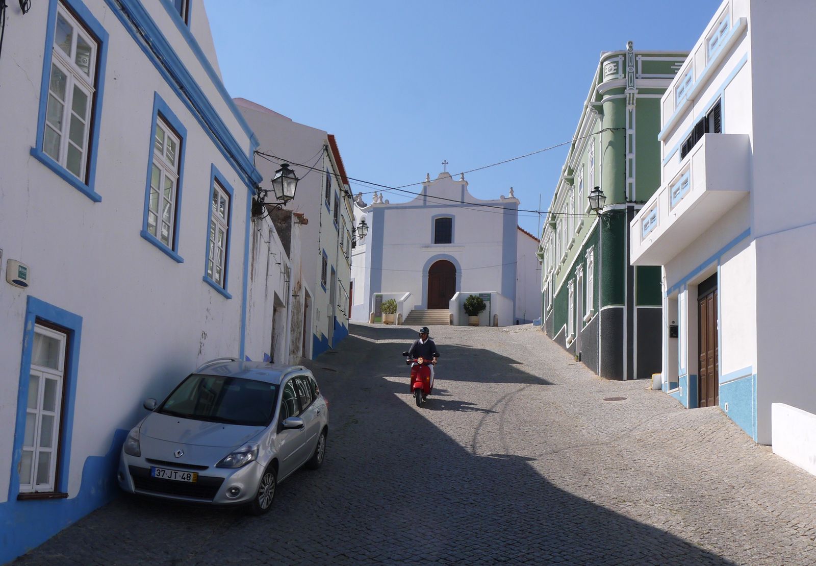 The historic village center of Aljezur.
Aljezur – Vila do Bispo
The quiet road between Alzejur and Vila do Bispo is a section of Algarve that many visitors miss completely. The undulating, pretty landscape is greener than other districts of Algarve. The western coast of Algarve doesn’t have any major settlements, and not many people live in the region.
This scenic route is a 34 km / 21-mile drive along the roads N120 and N268. The sea is not far away from the road, but you have to branch off to one of the tiny side roads if you want to go to the coast. Secluded beaches and surf beaches can be discovered along the way. Both Aljezur and Vila do Bispo are small towns with long colorful histories. Aljezur’s pretty old town and castle are definitely worth stopping by and exploring on foot.
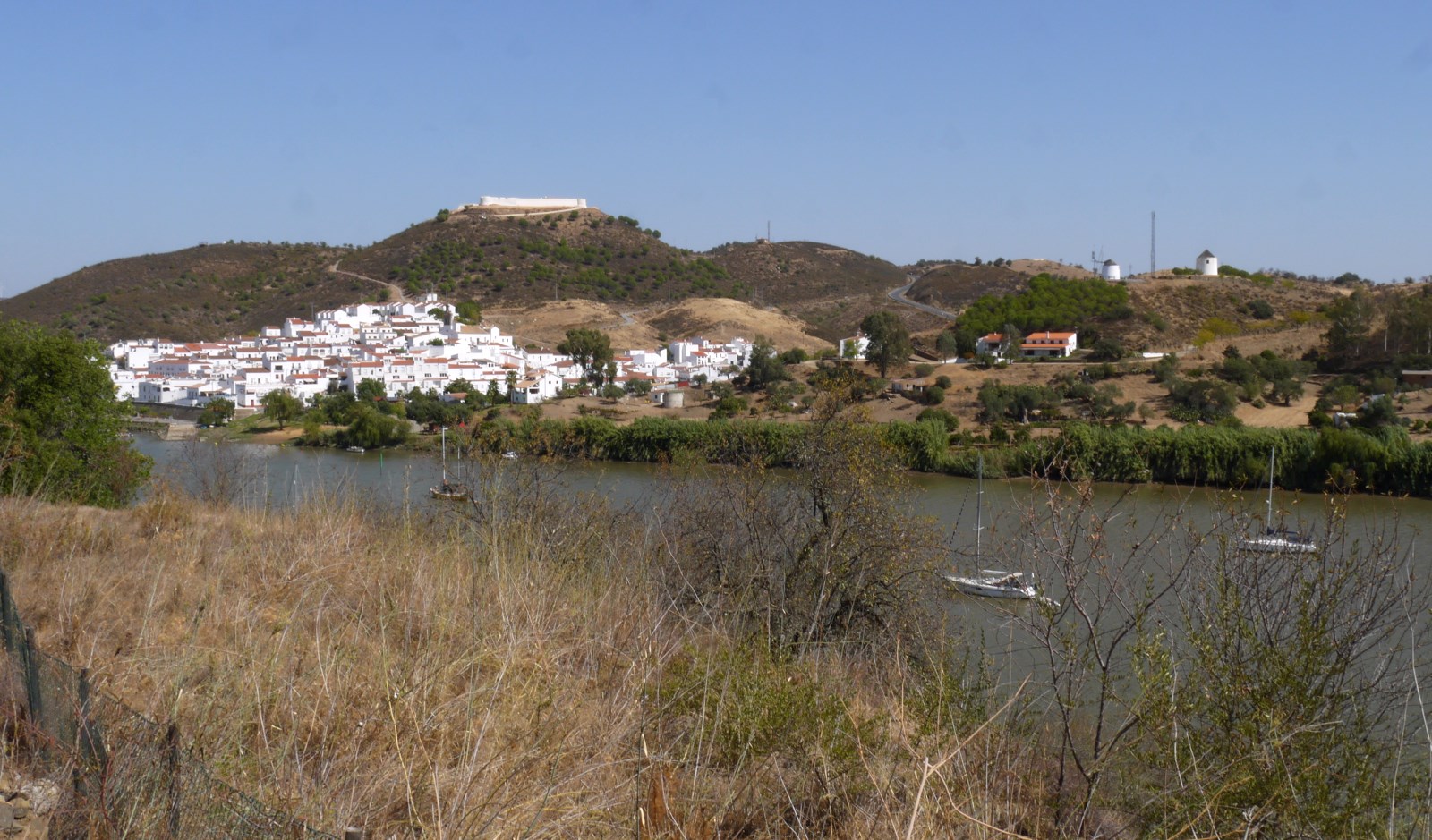 A view from Alcoutim to the Spanish side of the river.
Castro Marim – Alcoutim
The IC27 road that leads north from Castro Marim crosses a hilly, almost uninhabited countryside in Algarve. It is about a 40 km / 25-mile drive to Alcoutim. The terrain in this region next to the Spanish border is hilly, and the road winds up and down, allowing splendid views of gorges and river canyons between the hills.
The fortresses of Castro Marim are one of the top sights of Algarve, so reserve enough time for exploring this tiny village with two fortresses.
Here and there along this scenic road, it is possible spot an olive farm or a small house, but other than that, it is a desolate area. The tiny settlement of Odeleite is located next to a dam. To reach Alcoutim, you have to exit the IC27 road, and head to the N124/N122-1. Near Alcoutim, sceneries are magnificent as the border river Guadiana and the ancient fortresses on both sides of the river come into view.
More scenic drives in Algarve, and everything else about towns, beaches, food, activities and shopping in the region are explained in Klaava Travel Guide for Algarve, Portugal. The book is available at Amazon, Google Play, Apple iBooks, Kobo, and in other major bookstores.